
Public Sources for Eastmont Neighbors
Eastmont is unincorporated, so Snohomish County sources form the core block view. They describe parcels, public tax parties, recorded instruments, projects, and civic activity. The reliable question is what each source proves about the block, not whether it can name every person present.
| Block source | What it can reveal nearby | Public access route |
|---|---|---|
| SCOPI parcel map | Boundaries, adjacent parcel IDs, house labels, imagery, appraisal area | Public map with parcel clicks and account-summary links |
| Assessor Public Access | Owner or taxpayer display, situs and mailing distinction, value, legal description | Search by parcel or property address |
| Auditor recorded documents | Transfers, liens, plats, and legal relationships among lots | Online generally from July 1976; older records through other channels |
| PDS records | Permit or project status and releasable code-case facts | Project Status, PDS Records Portal, or county request |
| State voter extract | Permitted address, precinct, district, status, and participation fields | Secretary of State request with statutory certification |
| Community sources | Board action, park projects, public notices, and historic block context | Agenda archive, library databases, newspapers, or archives |
An owner name on a tax page does not identify all occupants, and a mailing address may lie elsewhere. A historic directory can name a former occupant without proving deed title. Keep those distinctions visible whenever you compare nearby parcels.
Walk the Eastmont Block in SCOPI
The SCOPI Interactive Map turns one address into a controlled adjacent-parcel search. It supplies the geometry that a name list cannot: each lot is selected separately, and the parcel number becomes the key for checking the Assessor, PDS, and Recording sources.
- Locate the known situs address and select its parcel, then record the parcel ID and property address from the basic panel.
- Zoom to the immediate block, turn on parcel and house labels if useful, and click each touching or nearby parcel one at a time.
- Open the result list and Property Account Summary for taxpayer, acreage, market value, tax-code area, legal description, sales, tax, and structure fields.
- Compare mailing and situs addresses without assuming they prove that the displayed tax party lives on the parcel.
- Carry each parcel ID into the one other record family that answers the question, such as a deed, permit, or historic map.
For a full road rather than the immediate radius, use the Eastmont street directory workflow. It is designed to manage address ranges and a longer deed chain without turning this block search into a street-wide roster.
The county SCOPI page shown below is the official starting point for the parcel-view method.
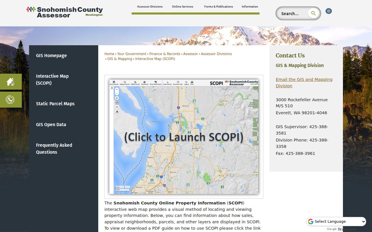
The map connects nearby land records, but its selected owner field should never be described as a household directory.
When Eastmont Neighbors Share a Map Point
SCOPI can show “Multiple Parcels (Click for Info)” at one mapped location. That small warning matters. A street address can overlay related, stacked, or otherwise separate parcel records, so comparing only the first result can distort the shape, tax party, legal description, or project history for the block.
Open the control, note every candidate parcel ID, and compare each legal description before deciding which land touches the target. A legal description may use subdivision, division, block, lot, survey, or metes-and-bounds terms. These fields are stronger continuity keys than a postal label, especially because an Eastmont parcel may carry Everett or Snohomish in its mailing line.
Map note. Save the imagery year and page date when comparing parcel context, since current layers and older aerial views answer different questions.
An Eastmont Appraisal Area Is Not a Social Roster
SCOPI's Appraisal Neighborhoods layer uses a county valuation grouping, not the everyday meaning of neighborhood. Snohomish County describes seven-digit IDs, with residential IDs beginning 1 through 4 and commercial IDs beginning 5 or 6. The layer is helpful when comparing parcels within a common assessment context.
County appraisal layer
Supports value and parcel-context review with a coded geographic grouping and a stated data date. It is an administrative tool.
Community network
May involve a board, civic group, park district, or informal local identity. It does not follow the appraisal boundary and may have no public membership list.
Do not turn the appraisal code into a list of households. Use it to compare the mapped parcels, then rely on a separately identified civic source for public community activity.
Projects Around Eastmont Neighbors
Snohomish County Planning and Development Services supplies an address-keyed view of work near the block. Project Status accepts a project number, parcel ID, or address and covers current and historical searches. A permit may document a project date, inspection, plan, or status without saying who occupies the site.
Code Enforcement handles unincorporated Eastmont. Its map shows active cases, while completed notes may be available through the PDS Records Portal. Complaint identity or sensitive detail may be withheld under public-record exemptions. In December 2024 the county launched an improved account-based Permit Portal for applications, fees, inspections, and status, but that account system should not be confused with the public research route.
The Project Status screen captured for this build shows where a parcel or address can anchor a nearby project search.
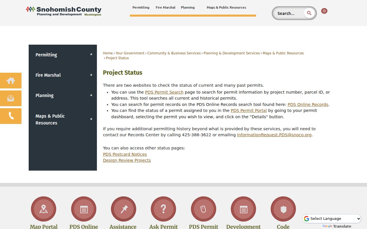
Use the returned project identifier and current status rather than inferring a person or household from the work record.
Voter Data About an Eastmont Block
VoteWA is a resident's self-service registration and update portal, not an arbitrary neighbor search. Washington's formal public-file path is the Secretary of State VRDB extract. A request identifies the requester, selected file and county, and requires agreement to RCW 29A.08.720, RCW 29A.08.740, and RCW 42.56.070(8).
The permitted extract can contain active voter name, residence or mailing address, registration status, precinct and district assignments, and current and previous-year participation history. It has no ballot-choice or party-preference field, and ordinary access withholds full birth dates, driver-license numbers, Social Security numbers, and protected actual addresses. The state describes CSV delivery after processing, which may take up to five business days.
Snohomish County's voter-data form was updated in 2026 to say voter data cannot be released through that county route and to direct requests to the state. This is a controlled, law-bound access channel, not a promise that every Eastmont neighbor will appear.
Public Civic Layers for Eastmont Neighbors
The research found two useful community layers, neither of which is a resident roster. Silver Firs is a nearby planned-community identity with a public homeowners association site. It publishes community, board, manager, park, and trail information, but no public member directory was found. Eastmont Parks and Recreation District keeps a searchable agenda and minutes archive for public decisions and local projects.
| Community source | Useful public contact or access | What it does not provide |
|---|---|---|
| Eastmont Parks and Recreation District | Agenda Center with meeting archive and filters | A complete list of people living in Eastmont |
| Silver Firs community layer | Public board and management information on the association site | A verified public member or household directory |
| Sno-Isle Libraries | Newspapers, microform, scanners, genealogy databases, Book a Librarian | A live block membership roll |
| Washington State Archives Northwest Branch | Appointment access plus mail or email requests for relevant series | A single current Eastmont neighbor index |
The Eastmont Parks archive captured below can connect an address area with a board decision or project.
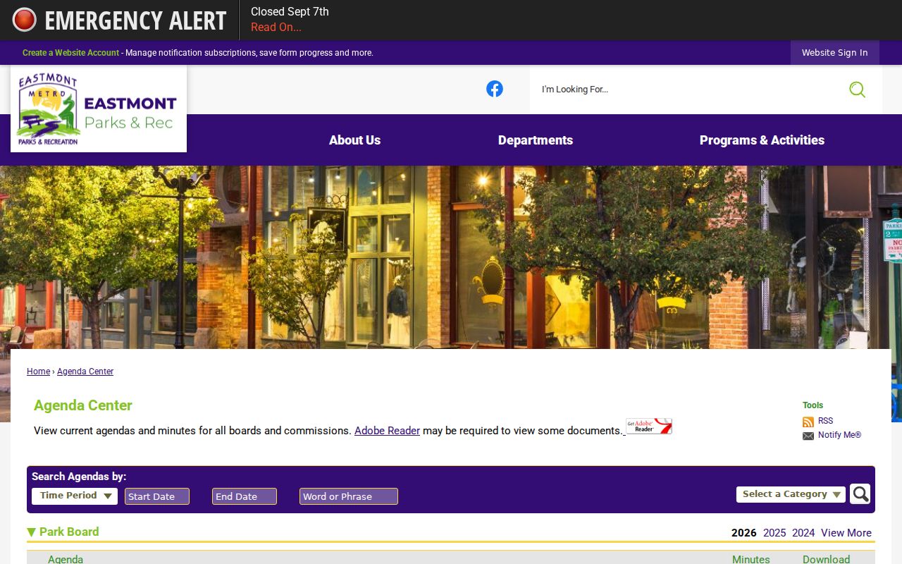
Read the agenda date and item text as civic context, not as evidence that a named attendee lives on the nearby block.
Older Context for Eastmont Neighbors
Historic directories, newspapers, obituaries, and maps can explain who was publicly linked to a block at a past date. Eastmont's current CDP formed from Seattle Hill-Silver Firs in 2010, so older searches may need Seattle Hill-Silver Firs, Everett, Snohomish, Silver Firs, a subdivision, or an older road label. USPS city text and Census geography serve different purposes.
Sno-Isle offers in-branch Ancestry, home access to MyHeritage and Heritage Hub with a library card, local newspaper databases, microform, and staff research help. The Snohomish Historical Society holds photos, obituaries, title abstracts, maps, school and organization records, though fragile or off-site items require prior arrangement. Granite Falls Historical Society's map layers can be searched by historic address or place name, then checked against a dated directory or news item.
These sources show past context. A directory occupant may never have owned the parcel, and a published notice may contain an error, so save the volume, issue, page, and date.
Official Block Records Versus Compiled Tools
Official sources are narrower but identify their custodian and purpose. Commercial neighbor tools can combine filings, old addresses, marketing data, and uncertain name matches. They may be quick, yet their update cycles, costs, correction routes, and identity logic vary.
Official county or state record
Best for a dated parcel, deed, permit, voter-file, court, or agenda fact. Its office can explain access, redaction, and correction.
Compiled neighbor result
Useful only as an unverified lead. Confirm each important claim at the original custodian and discard mismatched or stale profiles.
Neither category gives permission to publish sensitive fields. The least intrusive record that answers the civic, property, family, or safety question is the sound choice.
What Remains Private Around Eastmont Neighbors
Parcel records do not name every person present. Utility customer lists and delivery records are not public resident directories, and federal law limits motor-vehicle address data. Washington's Address Confidentiality Program under chapter 40.24 RCW can substitute a protected address in state and local records. Protected voter information and actual addresses are withheld through their special process.
Court files may be sealed or restricted, vital products have eligibility rules, and code complaints can contain exempt details. A blank field or missing name is not proof of absence. If a public record seems wrong, take the exact parcel, instrument, case, or record number to the custodian that created it rather than confronting a neighbor.
Lawful use. Block research can support civic awareness, property history, and respectful contact. Do not use Eastmont neighbor information to stalk, harass, threaten, track, or harm any person.